


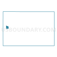
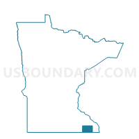
Spring Valley Voting District, Fillmore County, Minnesota
About
Outline

Summary
| Unique Area Identifier | 601941 |
| Name | Spring Valley Voting District |
| County | Fillmore County |
| State | Minnesota |
| Area (square miles) | 2.53 |
| Land Area (square miles) | 2.53 |
| Water Area (square miles) | 0.00 |
| % of Land Area | 100.00 |
| % of Water Area | 0.00 |
| Latitude of the Internal Point | 43.68667730 |
| Longtitude of the Internal Point | -92.39009500 |
Maps

Graphs
Select a template below for downloading or customizing gragh for Spring Valley Voting District, Fillmore County, Minnesota


Neighbors
Neighoring Voting District (by Name) Neighboring Voting District on the Map
- Bloomfield Twp. Voting District, Fillmore County, MN
- Spring Valley Twp. Voting District, Fillmore County, MN
Top 10 Neighboring County Subdivision (by Population) Neighboring County Subdivision on the Map
- Spring Valley city, Fillmore County, MN (2,479)
- Spring Valley township, Fillmore County, MN (518)
- Bloomfield township, Fillmore County, MN (353)